Northeast Tennessee GIS Users Group

Category: gis

Next NETGIS Meeting Tuesday, June 6, 2017!!!

Hello NETGIS!

We are planning for the next NETGIS Meeting on Tuesday, June 06, 2017 1:00 PM-3:30 PM at the Eastman Lodge Room A1.

Please mark your calendars and let me know if you have a presentation.

More details and an agenda will be sent as things are confirmed.

Thanks,

David S. Light, GISP
Eastman Chemical Company
Utilities Division
GIS Program Coordinator

UAV Lunch and Learn opportunity provided by Holmans

The attached pdf link contains information on an upcoming UAV Lunch and Learn opportunity provided by Holmans.  The events will be held in Knoxville and Nashville.  Thanks Paul Mares for sharing! (Contact info for Paul Mares in previous note)

Date: Tuesday, August 23, 2016
Time:  9:30 AM to 1:00 PM EDT
Location:  Pellissippi State Community College, 10915 Hardin Valley Rd, Knoxville, TN  37933-0990
Pre-Register here:  http://www.holmans.com/livedemo or Alternatively call Annette Bumgarger at 505-343-3537

UAV- Aibot X6- Lunch and Learn

NETGIS Meeting – July 28, 2016

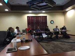
NETGIS had its quarterly meeting on July 28, 2016 at the Eastman Lodge in Kingsport, Tennessee.  We would like to formally thank all our presenters who were at the meeting and gave amazing presentations.

IMG_0215

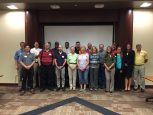
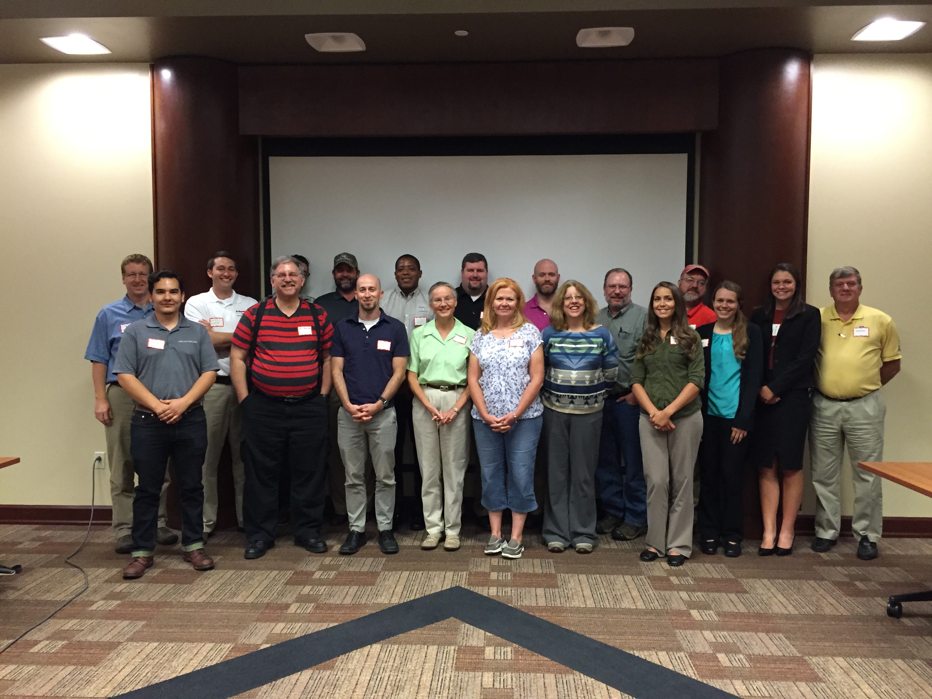
NETGIS July 28 Group Photo

IMG_0208 IMG_0209
Sam Moffatt, GISP – Woolpert - The Changing Geospatial Landscape  — This high level presentation will discuss change that is occurring in the geospatial industry and how it is shaping our world through consolidation, SaaS and new sensors coming to market like Geiger and Photon Lidar, using the cloud, 3D Mapping, UAS and how to leverage all of this data.

IMG_0203

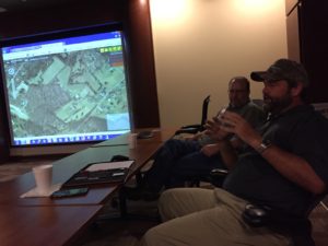
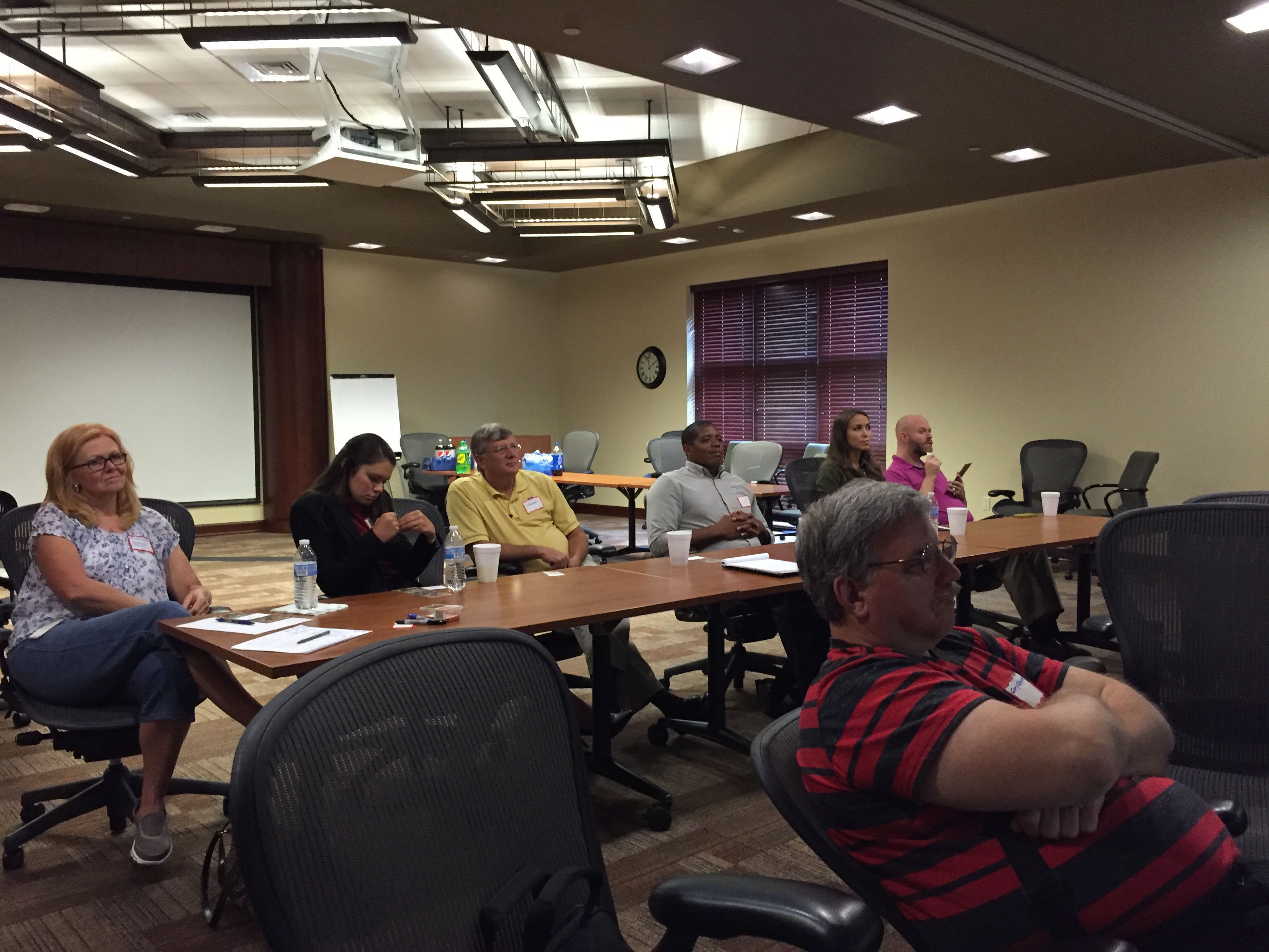
Sam Moffatt & David Light

IMG_0204

Sam Moffatt

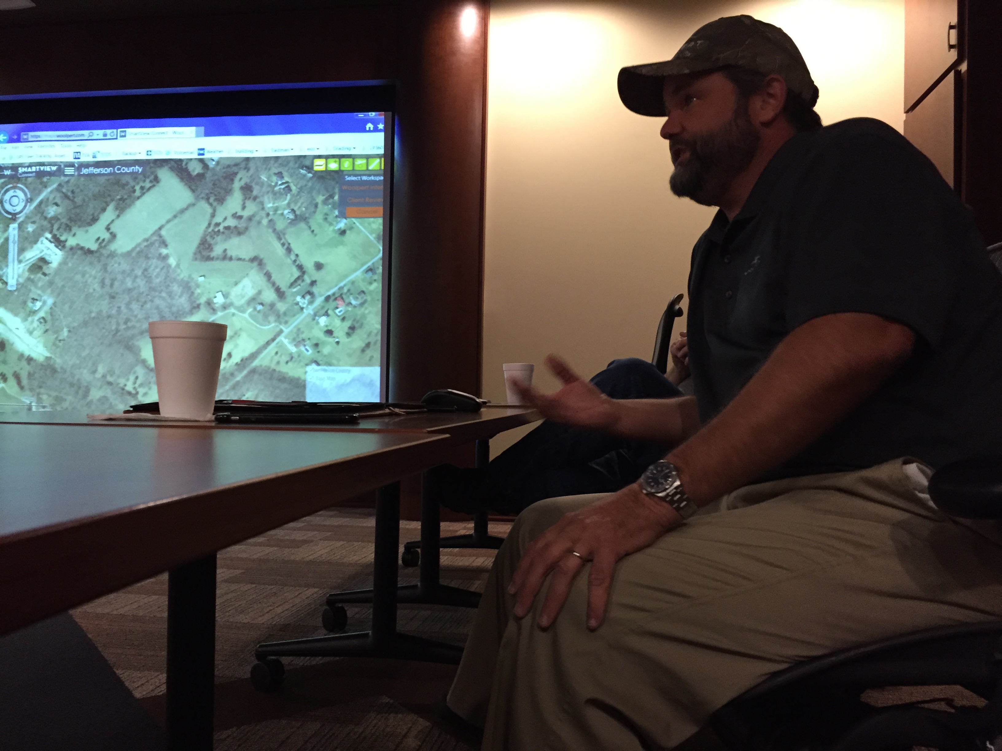
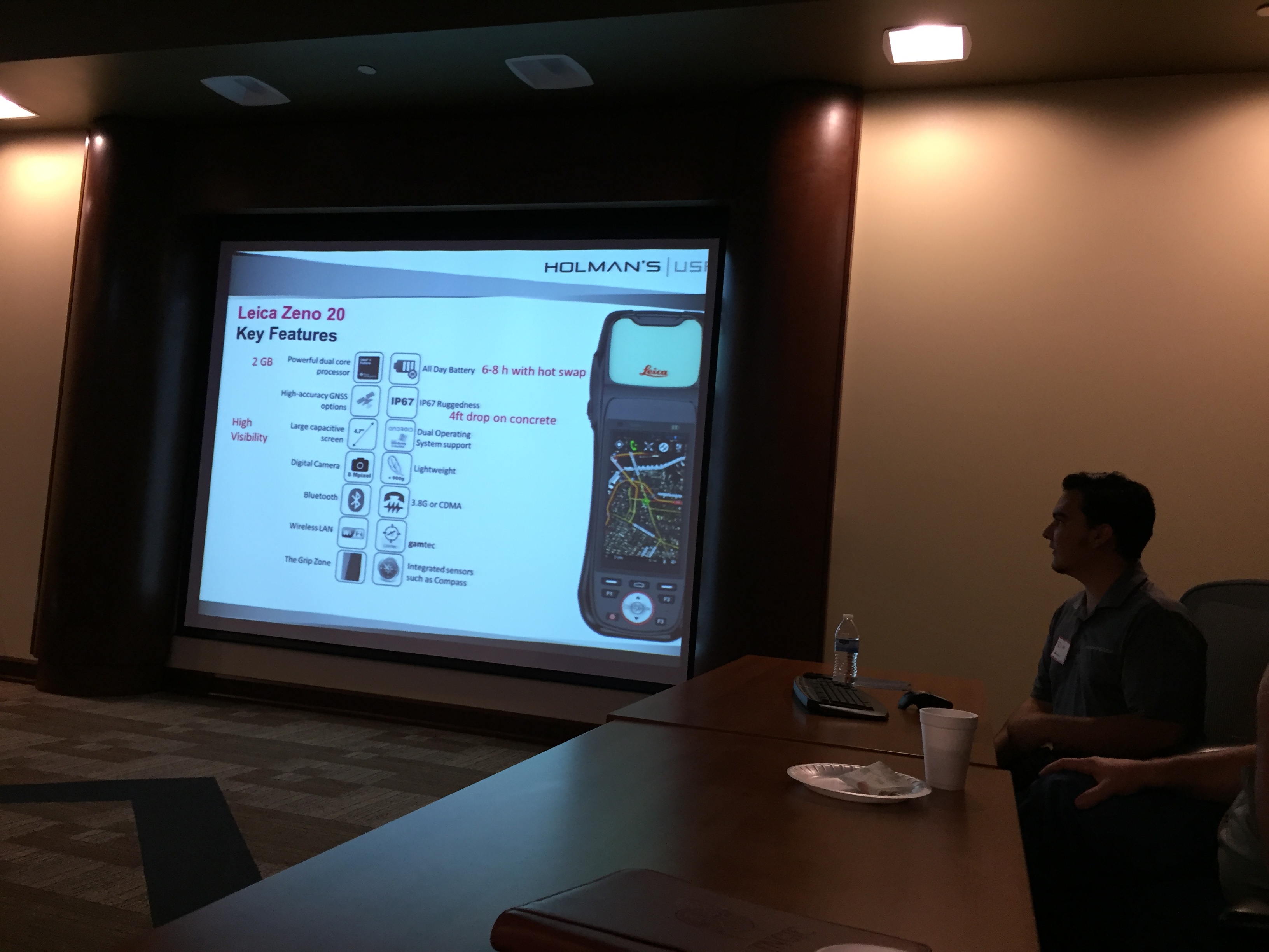
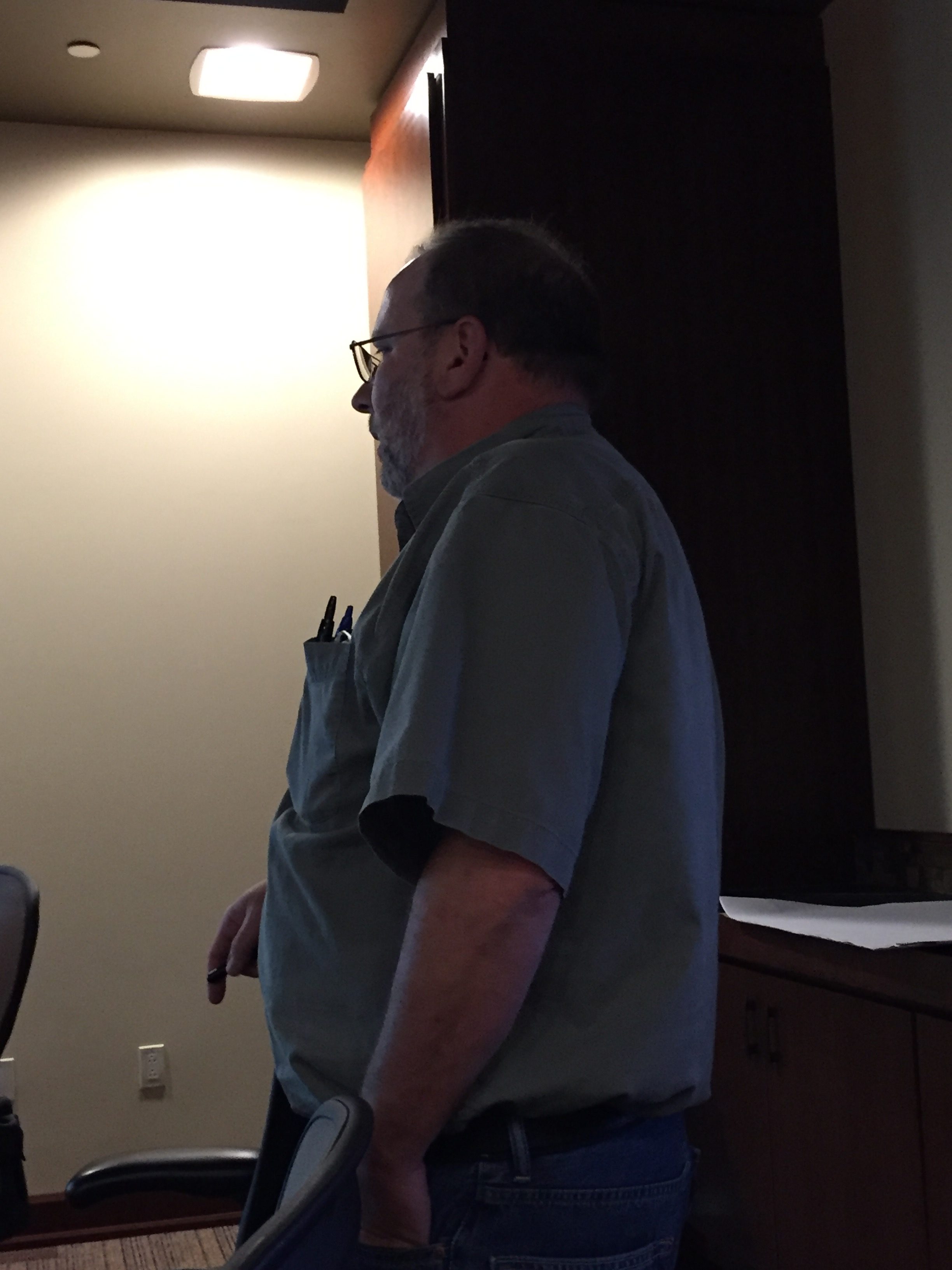
Paul A. Mares – Lieca Geosystems Solutions  – “We’re Going Mobile”- Tips on how to make field data collection easy.  An overview, concerning Mobile field data collection including product updates, work flow tips and project examples.

IMG_0206

Paul Mares

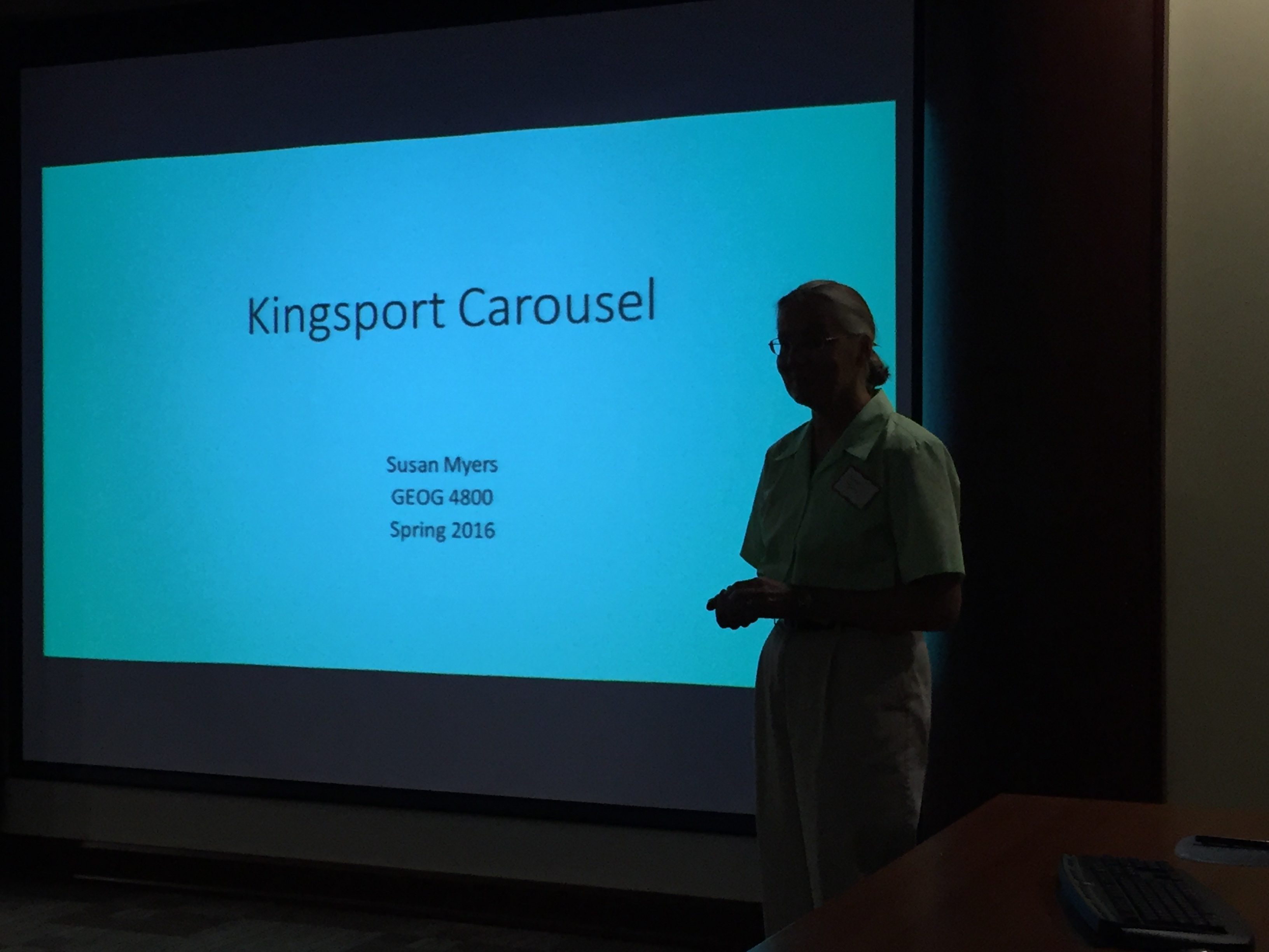
Susan Myers – ETSU Student and Tutor  –  Open Source Research Question: What is the age distribution of the population within a 25 mile radius of the Kingsport Carousel?

IMG_0207

Susan Myers

Randal Hale – North River Geographic Systems – Integrating QGIS/Fulcrum/Postgis/ArcGIS into a Water Utility. The Brief Story of Integrating multiple softwares (some open source and some not) into water utility to lower the overall cost of maintaining and expanding their Geographic Information System. Components include QGIS and ArcGIS on the desktop, Fulcrum for Mobile Data collection, and PostGIS for the Enterprise Database.
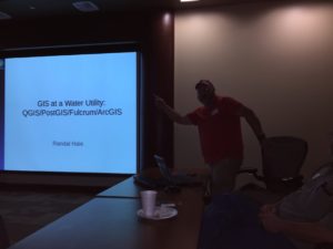
IMG_0211

Randal Hale

Additionally, as part of Bi-yearly required business, NETGIS elected its officers for the next two years.
David Light, GISP – President
Christopher Pape, GISP – Vice-President
Ann Howland, GISP – Secretary/Treasurer

NETGIS

David Light

If you missed this meeting and its presentations, don’t worry!  We have another meeting for you to attend coming soon!  Please mark your calendars to reserve a spot for Wednesday, October 12, 2016.  Please plan to bring $10 to cover for the typical pizza lunch at this meeting.  Please contact David Light dlight@eastman.com if you have a presentation you want to offer.

When: Wednesday, October 12, 2016; 11:45 AM – 3:30 PM
Where: Eastman Lodge – 406 Bays Mountain Park Road Kingsport TN 37660, US – Room A1

Are you interested in attending the Eastern Tennessee Regional Users Conference in Knoxville, Tennessee?  How about presenting at the conference?  The Annual Eastern Tennessee Regional TNGIC Users Conference will be held on Thursday October 6 & Friday October 7, 2016 at the University of Tennessee Plant Biotech building.  If you would like to present at this conference, please email mmeyers@utk.edu an abstract of about 100 words for a 20 minute presentation.  Please see the attached flyer for more information.

TNGIC2016Call

Additionally, next year Knoxville will be hosting the 2017 TNGIC Users Conference April 25 & 26, 2017 at the Crowne Plaza in Downtown Knoxville.  Please make sure to watch the TNGIC website for more information as it becomes available.

Tennessee GIS Stakeholder Regional Forum Registration

The Tennessee Geographic Information Council and the State, Office for Information Resources, GIS Services (OIR- GIS) invite you to take part in the state’s development of a business plan for statewide enhanced elevation data. For some background on this effort, see: gis.tn.gov [Project Spotlight: Statewide LiDAR/Elevation Business Plan Development.]

In the last two weeks of August, there will be five regional stakeholder forums to solicit public input on the needs for enhanced elevation data around the state. Base mapping has high value in Tennessee and the goal of this planning process is to examine the business case for developing and distributing current, high resolution elevation data to support applications such as flood plain management, land development, and a multitude of other activities that require better terrain data than is available currently through USGS or other sources. The forums will include an educational component on the most efficient and cost effective methods for developing enhanced elevation data, including LiDAR technology. As someone who uses elevation data, or a decision maker who depends on current and accurate information, your input on the need and uses for enhanced elevation data will help us determine the best approach to move forward.

Link: http://www.surveymonkey.com/s/TN_GIS_ForumRegistration

NetGIS Meeting April 29th 2011

  • NETGIS Meeting Agenda
    When: Friday, April 29th, 2011; 11:00 AM – 2:00 PM
    Where: Eastman Lodge – 404 Bays Mountain Trail, Kingsport, TN 37660, US
    See Attached Driving Directions to Eastman Lodge Room A1 – Not the main banquet room
    If you need Adobe Reader – Click here to download it from Adobe’s Website
    If you have ideas/suggestions for upcoming NETGIS Users Group meetings, please let me know.
  • Flexible Agenda:
  • 11:00 – 11:05 Welcome
  • 11:05 – 11:10 Secretary/Treasurer’s report – Joyce Pierson – GIS Technician – Dart Oil Company – Treasurer’s Report and Meeting Minutes
  • 11:10 – 11:15 GIS JOBS – Joyce Pierson – GIS Technician – Dart Oil Company GIS Jobs from the TNGIC Website Local Jobs??
  • 11:15 – 11:35 – David Light – Officer Nominations/ElectionsCurrent Accepted Nominations:
    David Light – President
    Joyce Pierson – Vice President
    Amesha Whitt – Secretary / Treasurer (Pending Management Approval)

11:35 – 11:45 – David Light – Fall Eastern Regional TNGIC Meeting Opening Discussion
Potential Locations and Dates
11:45 – 12:00 Networking Break- Time to allow members to have informal discussions with others.
12:00 – 12:30 Pizza Lunch / Chips / Drinks – $10 to help keep us self-supporting
12:30 – 1:00 Randal Hale – Introduction/Overview – Python and Model Builder

This presentation will highlight the use of Python and Model Builder.
Randal Hale, GISP
North River Geographic Systems, Inc.
ESRI Business Partner and Authorized Trainer

Home


423.653.3611 rjhale@northrivergeographic.com


  • 1:00 – 1:15 Networking Break- Time to allow members to have informal discussions with others.
  • 1:15 – 1:45 Randal Hale – Introduction/Overview – Python and Model Builder (Continued)
  • 1:45 – 2:00 Business: David Light
  • 2011 Fall Eastern Regional TNGIC Conference Committee Meeting


Upcoming Events
Next NETGIS Meeting – Schedule Date – Friday, July 22nd
ESRI International User Conference – San Diego, CA, July 11-15, 2011
2011 Fall Eastern Regional TNGIC Conference
TNGIC 2012 – Spring, 2012 in Montgomery Bell State Park, TN

About NETGIS


http://www.tngic.org/

© 2024 NETGIS

Theme by Anders NorenUp ↑